


Are there any more detailed explanation regarding Teseo LIV3F software documentation UM2229 or binary image description UM2399?
Hello, right now i am working with a STA8090 DevKit to test some things with the Teseo LIV3F. Unfortunatly, the software documentation is very inconsistent.
For example in UM2399 Rev5 May 2020, there is the command
$PSTMCFGCONST (page 151/376), which allows or disables different GNSS constellations.
(Or UM2229, Rev 4 Dec 2019, page 86/239 and 87/239)
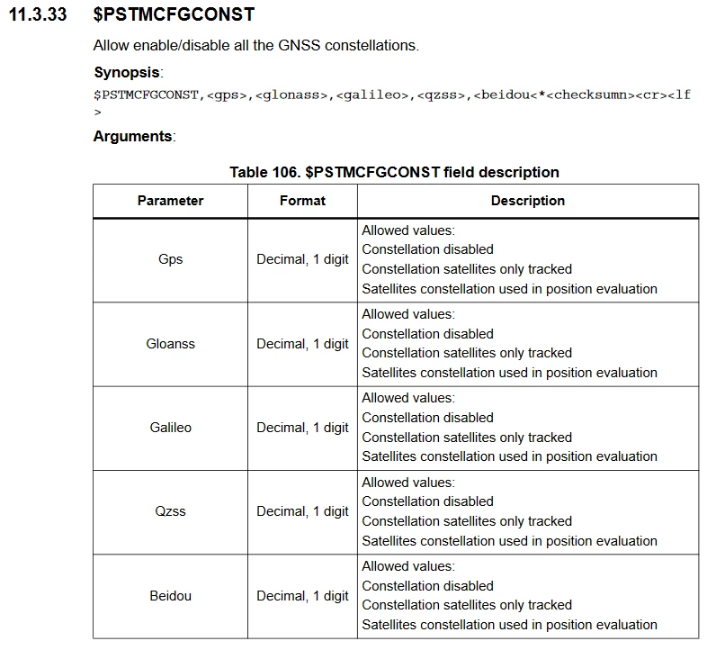 Its described as every constellation is 1 decimal digit and can have following allowed values:
Constellation disabled
Constellation satellites only tracked
Satellites constellation used in position evaluation
But what values? 0, 1, 2? Or 1, 2, 3?
If i check a software command sheet from a different quectel module, which also uses the same command its listed as 0, 1, 2. If i check the software manual of Teseo VIC3DA, its listed a 1, 2, 3.
However, if i type in a 9 or 13 like
$PSTMCFGCONST,1,1,9,0,0 i still get a $PSTMCFGCONSTOK
$PSTMCFGCONST,1,13,1,0,0 i still get a $PSTMCFGCONSTOK
So which value is now correct? 0, 1, 2 or 1, 2, 3 and why does the module still gives a no error message even when there is a value which should be clearly out of bounds (either too high (9) or 2 decimal values instead of 1 (13)?
The same thing goes for geofencing option
$PSTMCFGGEOFENCE (UM2399 Rev 5 May 2020 page 150/376 or UM2229, Rev 4 Dec 2019, page 86/239 and 87/239), which states
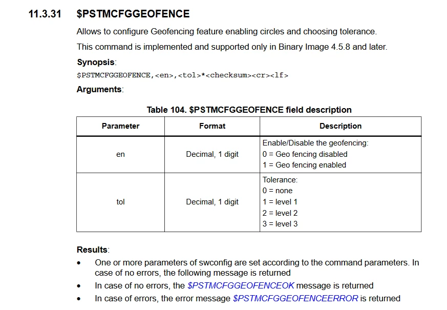 What is level 1, 2 and 3? If i would refer to a different GNSS module producer, then Level 1 would be a accuracy of 68%, Level 2 of 95% and Level 3 of 99%.
But there is no detailed description to which level represents which level of tolerance.
Is there any better or more detailed description i am missing?
Best regards